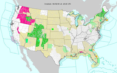
NOAA Weather Alert Time Lapse
Once every hour since March I've been saving a snapshot of the NOAA map that shows all the current weather alerts across the country. Last night I finally compiled all the images from March 4th through July 23rd, 2008. Each frame of video is one of these maps. At 12 frames per second we're seeing 12 hours of alerts each second that ticks by.
Fronts and severe weather sliding across multiple states is obvious. I'm going to attempt to keep the script going for at least a year and recompile everything then. The YouTube version is shown above. A full-res version is also available. (175 MB 800x500). Enjoy!